
The Transportation Map Series explores the region’s transportation system with a focus on active transportation options: transit, walking, and biking. The maps document the distribution of walkable neighborhoods, bikable streets, and public transit options, and show how these resources compare with demographic patterns, highlighting the areas where inequities in access to transportation impact the mobility and opportunity of low-income populations, populations of color, youth, and seniors.

|
Map Series:
|
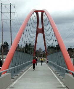
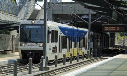
Photo credits, top to bottom: By Steve Morgan (Own work) [CC-BY-SA-3.0 (http://creativecommons.org/licenses/by-sa/3.0) or GFDL (http://www.gnu.org/copyleft/fdl.html)], via Wikimedia Commons;
By Finetooth (Own work) [GFDL (http://www.gnu.org/copyleft/fdl.html) or CC-BY-SA-3.0 (http://creativecommons.org/licenses/by-sa/3.0)], via Wikimedia Commons;
Image courtesy of Lee Serenethos at http://www.dreamstime.com;
By Oregon Department of Transportation (Bike lane Uploaded by Smallman12q) [CC-BY-2.0 (http://creativecommons.org/licenses/by/2.0)], via Wikimedia Commons

